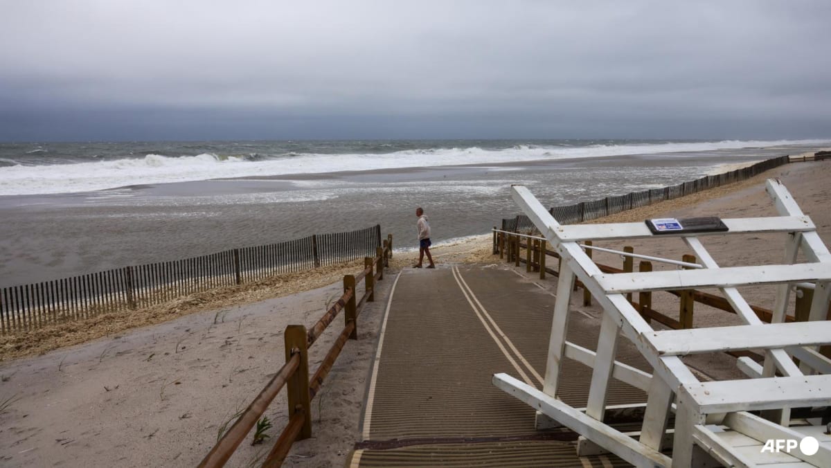
WASHINGTON: Hurricane Erin brought coastal flooding to parts of North Carolina and Virginia as it made its closest approach to the United States mainland early on Thursday (Aug 21).
High waves washed over Highway 12 that links the Outer Banks island chain, making parts impassable, images posted by local authorities showed – proving the giant storm’s ability to kick up dangerous seas hundreds of miles from its centre.
Though the Mid-Atlantic bore the brunt of the impacts, the National Hurricane Center (NHC) urged beachgoers throughout the entire East Coast to refrain from swimming to avoid being caught in potentially life-threatening conditions.
In a morning update, the NHC said Category 2 Erin was packing winds of 169kmh and creeping slowly north-northeast. It is expected to weaken as it moves further out to sea in the next couple of days.
The Atlantic hurricane season, which runs from Jun 1 to Nov 30, has entered its historical peak.
Despite a relatively quiet start with just five named storms so far, including Erin, the National Oceanic and Atmospheric Administration continues to forecast an above-normal season.
Scientists say climate change is supercharging tropical cyclones: warmer oceans fuel stronger winds, a warmer atmosphere intensifies rainfall and higher sea levels magnify storm surge.
There is also some evidence, though less certainty, that climate change is making hurricanes more frequent.


