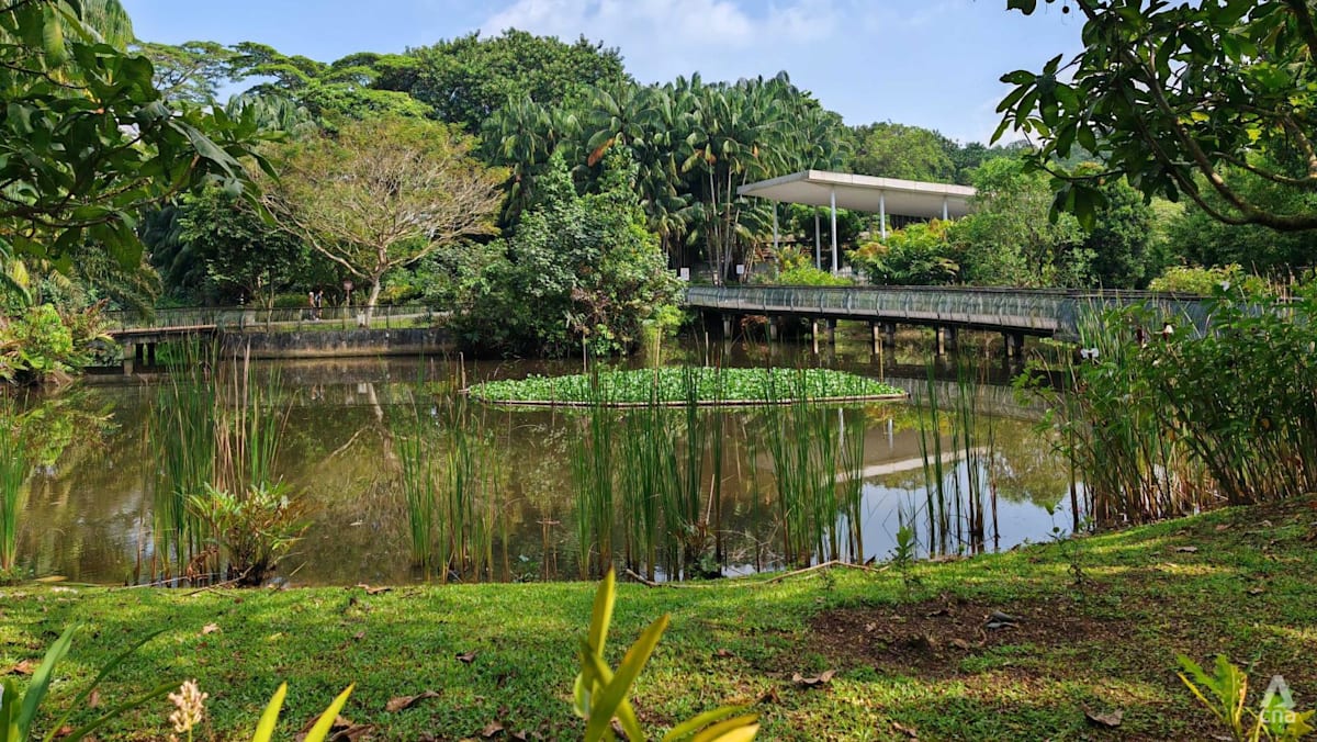
SINGAPORE: As torrential rain lashes the northwest coast of Singapore, home to the country’s first wetland nature reserve at Sungei Buloh, a public alarm system blares a warning to get people to evacuate areas prone to flooding.
Then, as water levels rise to around 80cm, certain areas of the nature reserve – like its car park – become submerged temporarily for several hours, until the rain stops and the water finally recedes to the coast.
This is what the future could look like in Singapore’s northwest coast, where authorities are considering designating the public trails around the Sungei Buloh Wetland Reserve visitor centre and the nearby carpark as a “transiently floodable coastal area” – allowing it to flood during extreme high tides or storm surges.
Besides the car park, the existing dam at Kranji reservoir could be converted into a “multi-functional” infrastructure, and the Kranji tidal gatehouse could be repurposed into an educational destination.
The dam structure could also be widened and raised as part of potential coastal protection measures.
These were among several key suggestions presented to 50 participants at a community dialogue on measures to protect a part of Singapore’s northwest coast held at Sungei Buloh Wetland Reserve’s visitor centre on Saturday (Sep 27).
The section of the northwest coast under discussion stretches from Lim Chu Kang to Woodlands, and is currently undergoing a site-specific study which commenced in 2023 as a response to sea level rise. Another stretch of the northwest coast, from Tuas to Lim Chu Kang, is the subject of another study that started in April 2022.
The dialogue is part of the Our Coastal Conversation series, organised by national water agency PUB to engage the public on the long-term challenge of rising sea levels around the country.
Senior Parliamentary Secretary for Sustainability and the Environment Goh Hanyan, who was at the session, cited several examples of how coastlines in other parts of Singapore can be reimagined.
At the Marina Barrage for example, coastal protection measures are integrated with new spaces for living and recreation, while the future long island at Singapore’s east coast could make use of land reclamation to make the coastline more usable and liveable.
At the same time, implementing such measures could result in “trade-offs” in other areas, she noted.
“Some options may require sacrificing productive land, meaning less space for housing or industry. Others might necessitate rethinking parts of our natural environment and biodiversity,” Ms Goh said.
“Sometimes, it may also mean allowing certain areas of Singapore to flood briefly during specific periods, then return to normal function afterwards, so that we do not need to undertake major construction works in those areas,” she added.
Singapore’s third National Climate Change Study projects that the mean sea level could rise up to 1.15m by the end of the century.
Extreme weather events, such as high tides and storm surges, could cause levels to spike by 4m to 5m, putting low-lying areas at risk.
As part of efforts to ramp up coastal protection, PUB has been progressively studying segments of the coastline since 2021.


