


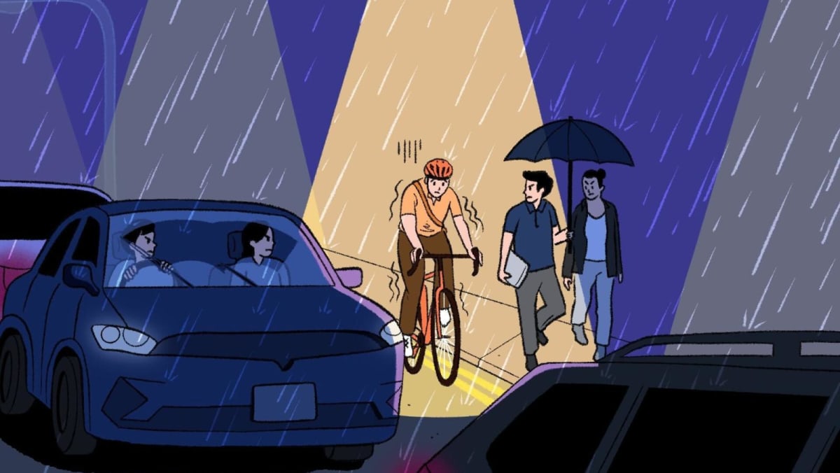
Associate Professor Walter Theseira, a transport economist from the Singapore University of Social Sciences (SUSS), said that the planner must choose at some point how to work out a compromise among the groups of pedestrians, motorised road traffic and those who are cycling or using active mobility devices.
“That’s because there is limited space, and the three groups have very different speeds and usage needs,” he added.
“So, if you do want to improve cycling experiences, you are likely to have to degrade something else in some areas, for example, by reclaiming a road traffic lane, by reducing the pedestrian space or by removing aesthetics such as the greenery.”
Mr Wisely Ong from NUS said that there were trade-offs. He is a PhD candidate and graduate tutor at the Department of Civil and Environmental Engineering and the interdisciplinary research centre NUS Cities.
He pointed out that the removal of green verges would reduce the buffer against traffic noise and worsen the urban heat island effect.
The urban heat island effect is a phenomenon where urban areas, being more built-up and densely populated, get warmer than rural areas.
The challenge is even greater in older towns and neighbourhoods, where space constraints in already built-up environments leave limited room for new infrastructure.
Transport engineering consultant Gopinath Menon said that some retrofitting – the process of adding new features or making modifications to existing structures – would be necessary in such public housing estates if that is the case.
What could hinder efforts to make routes more continuous and cyclist-friendly are existing infrastructure that may get in the way, such as bus shelters or overhead bridge staircases along footpaths, added Mr Menon.
This was something that Dr Samuel Chng from the Singapore University of Technology and Design (SUTD) noticed in his own Bukit Panjang neighbourhood. He is research assistant professor and head of the Urban Psychology Lab in the Lee Kuan Yew Centre for Innovative Cities.
“If there’s not enough space, something has to go,” Dr Chng said.
“Either you take away some trees or plants on the side, or in my case, where I live, the school had to give up some of its land area. The fence was shifted back a little so that the authorities could incorporate, expand and build the shared path.
“All these need a lot of planning, as well as time and a lot of resources, because you have to tear down the wall, move the wall and set it back, then build the path.”
That said, the experts and members of the cycling community have noticed that car-lite, bike-friendly features are increasingly being factored into the design of newer towns such as Tengah and Bidadari.
Mr Ong from NUS said that cycling infrastructure in more established parts of Singapore may appear to be an “add-on” or “ad hoc”, due to land constraints and how the city developed.
“However, the Land Transport Authority and Urban Redevelopment Authority have been actively seeking to make cycling more seamless and convenient,” he added.
Singapore’s street design will continue to evolve in line with its car-lite vision and related initiatives, Mr Ong projected.
One example is the Friendly Streets initiative, which aims to make walking and cycling safer in areas with high pedestrian activity. This includes barrier-free, same-level crossings and traffic-calming measures such as road markings – features that can improve the overall travel experience for cyclists as well, Mr Ong said.
WORK IN PROGRESS: A CULTURE OF CONSIDERATION
Ultimately, improved infrastructure is just one area of consideration.
The assumption is that improving and upgrading cycling infrastructure would naturally lead to more people taking up cycling, Dr Chng said.
“But is that true? If it is such a simple case, then a lot of things would have very little friction. If you build the infrastructure, people will use it. But people are much more complex than that, and something like cycling has many, many layers of consideration.”


